


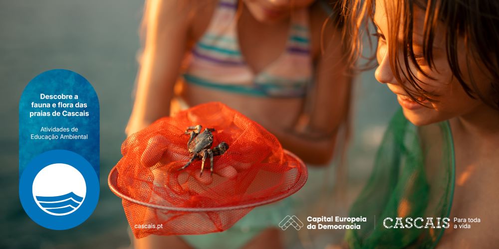


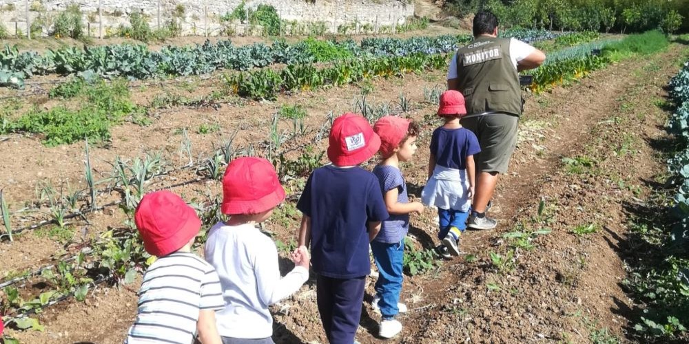


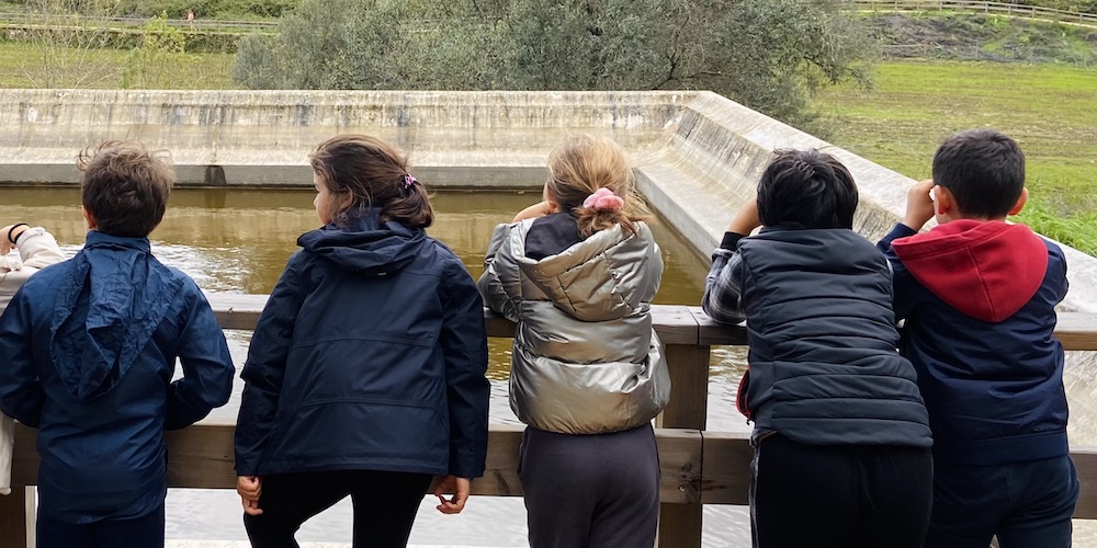


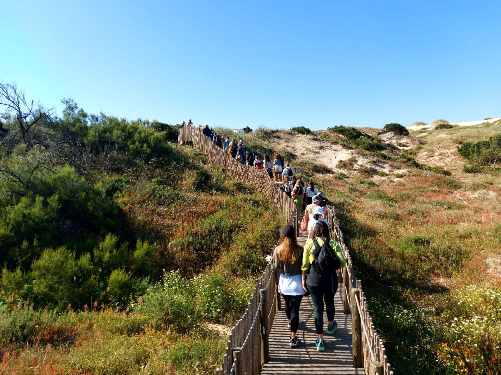


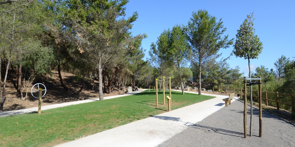


Nature Walks and Trails
Discover the main walking trails and nature trails you can take in the Sintra-Cascais Natural Park.
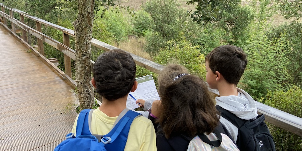
These trails range from low to medium difficulty,so they can be enjoyed by the general public. We recommend wearing suitable clothing and footwear,a hat, sunscreen and bringing water.
Safety Rules
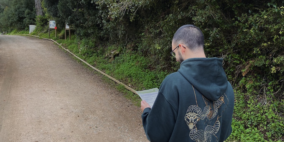
• You should assess the route and additional information and check that it is suitable for your physical abilities.
• In case of heavy rain, wind, fire, hail and/or snowfall, avoid taking the route.
• You should always carry a charged mobile device and inform someone where you are going and what time you plan to return.
• If you leave your car at the start of the route, you should not leave any valuables in plain sight. Cascais Ambiente is not responsible for lost, stolen or damaged personal items.
Rules of Good Conduct
• Follow the marked trails.
• Do not pick plants, mushrooms or geological samples, andkeep your distance from animals.
• Each visitor is responsible for their own rubbish and debris. Please dispose of it in the appropriate places.
• You must close all gates that you open.
• You must keep your pets under control at all times.
• Do not light fires.
[PR 1 CSC] Rota das Quintas
Difficulty: Medium | Type of route: Circular
Km: 13.40 | Estimated time: 3h15 | Elevation gain: 360m | Start: 38°45'11.53‘N 9°26'56.01’W
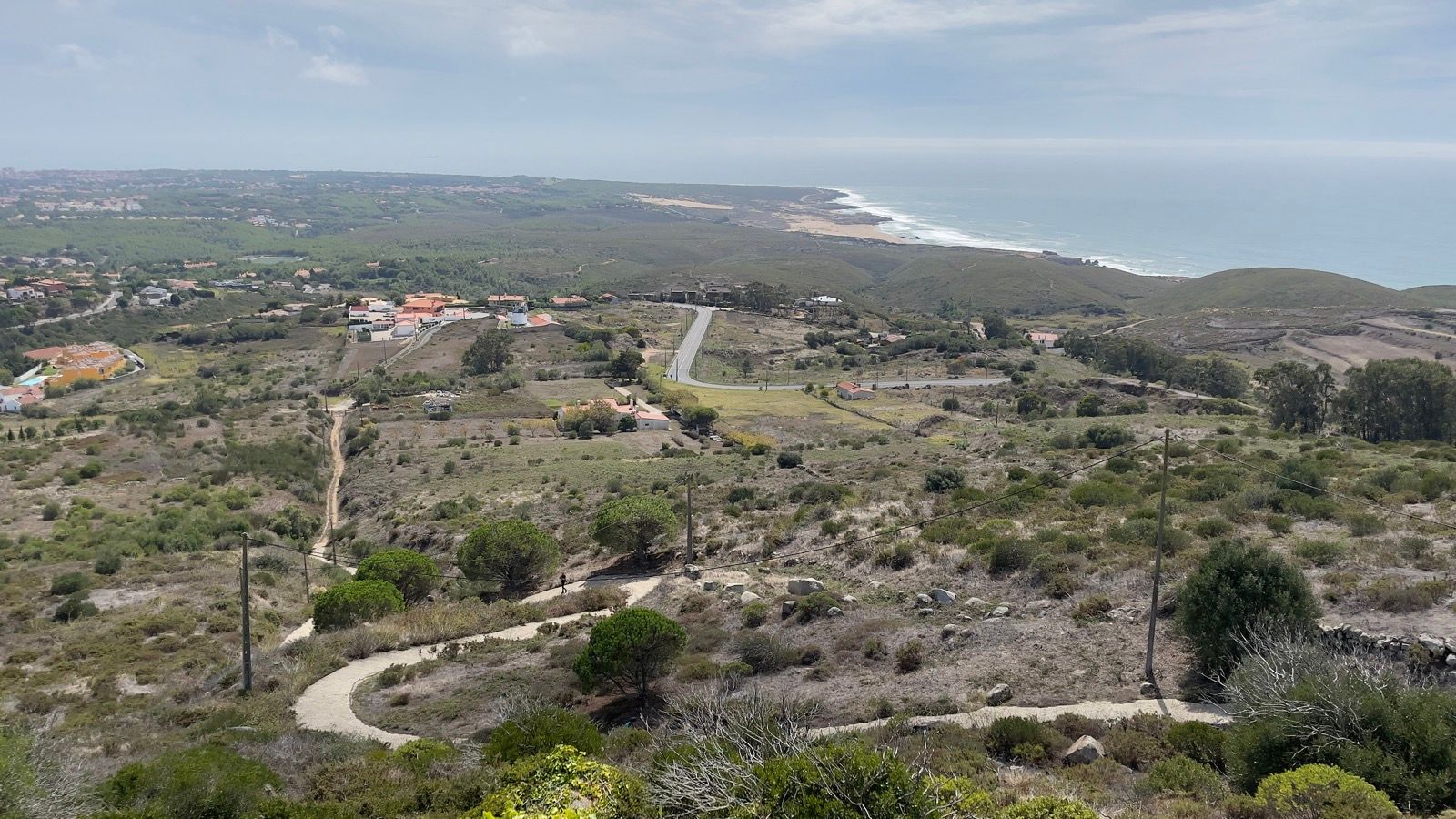
This route begins in Malveira da Serra, following trails that cross the region's unique landscape, part of the National Network of Protected Areas. This approximately 13 km route is ideal for spring, when the vegetation is at its most splendid. Lasting around three hours, the walk takes visitors through striking natural formations and areas rich in biodiversity.
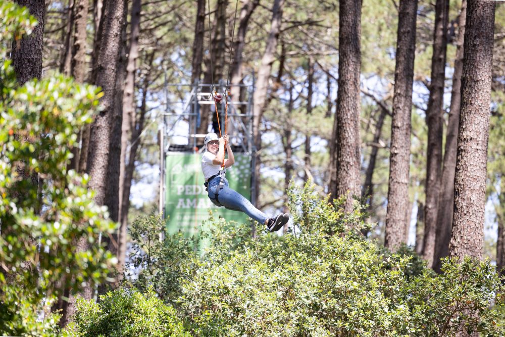
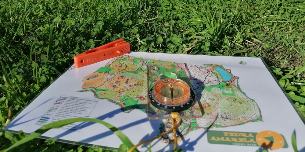
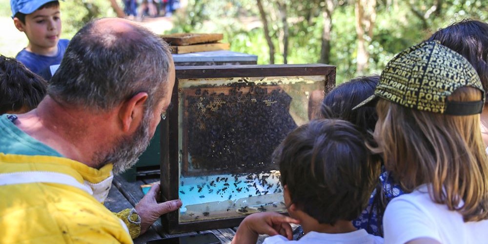
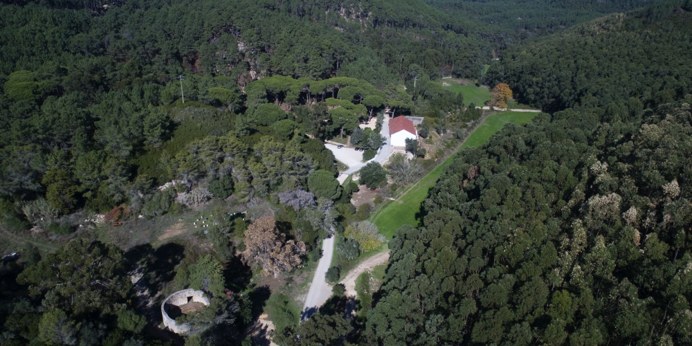
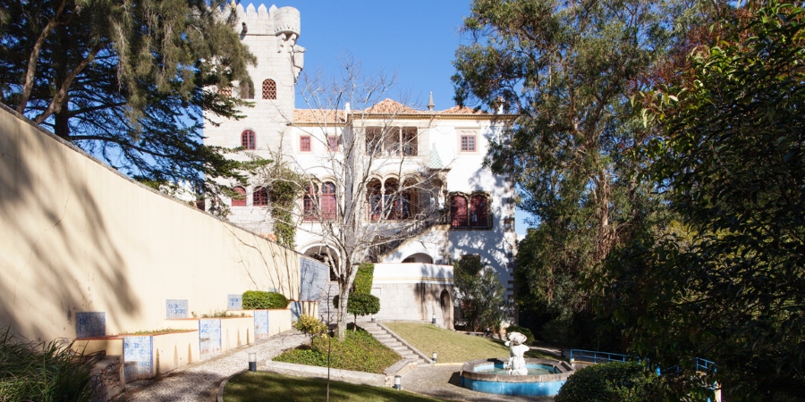
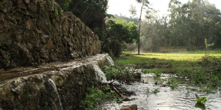
The starting point is located in an area shaped by ancient erosive processes, which have transformed the terrain over millennia. As you progress along the route, points of interest such as Pedra Amarela Campo Base, the Rio da Mula Dam and Quinta do Pisão - Nature Park appear. The route combines history and nature, showing signs of human interaction since ancient times, while offering an authentic experience in a preserved natural setting. Quinta do Pisão is a prominent site that is worth visiting throughout the year. It guarantees a natural, cultural and historical heritage and offers activities for all ages.
Find out more about the route. ONLINE | MAP in pdf HERE.
[PR 2 CSC] Rota do Cabo Raso
Difficulty: Easy | Type of route: Circular
Km: 13.70 | Estimated time: 2h50 | Elevation gain: 100m | Start: 38°43'35.55‘N 9°28'5.76’W
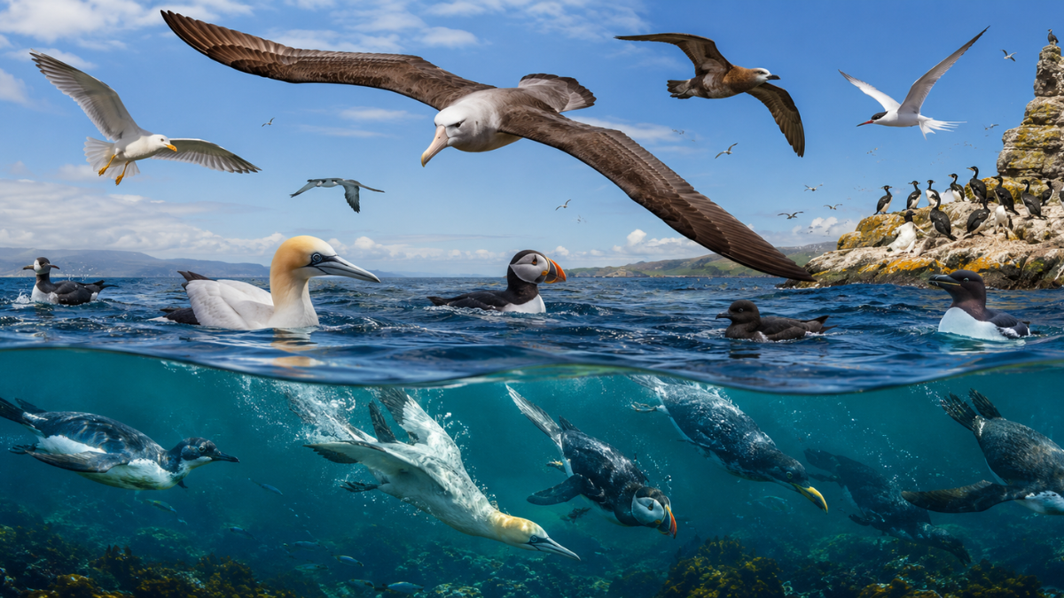
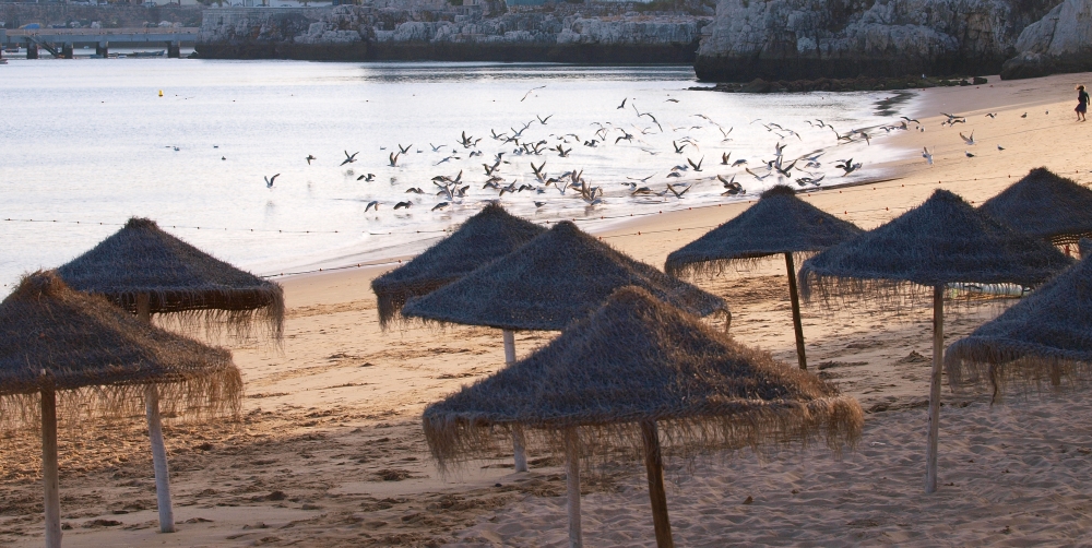
Located in the Sintra-Cascais Natural Park, this route invites you to explore the town of Areia, passing through Oitavos and Quinta da Marinha to Guincho beach, where you will find an impressive diversity of flora and fauna. Cabo Raso, for example, is an excellent spot for observing seabirds, especially during migration periods (March, April, September and October). The crested cormorant (Gulosus Aristotelis) nests on the cliffs, while other species, such as the white-faced cormorant (Pholocrocorox Corbo), the black duck (Melanitto Nigro) and the gannet (Morus Bassanus), form large flocks in spring, beginning their migratory routes.
Don't forget to bring your binoculars to make the most of this experience!
Find out more about the route. ONLINE | MAP in pdf HERE.
[PR 3 CSC] Rota das Aldeias
Difficulty: Medium | Type of route: Circular
Km: 8.80 | Estimated time: 2h15 | Elevation gain: 280m | Start: 38°45'11.56‘N 9°26'58.63’W
This route starts in Malveira da Serra and continues through the village of Almuinhas Velhas until it reaches the highest point of the almost 9 km route: the Cabeço do Vento viewpoint. It then follows trails that cross the unique landscape of the region, part of the Sintra-Cascais Natural Park, surrounded by vegetation typical of the region, such as the strawberry tree (Arbutus unedo), the cork oak (Quercus suber) and the stone pine (Pinus pinea). The trail offers the opportunity to spot species such as the red fox (Vulpes vulpes), the sardão (Timon lepidus) and various birds of prey.
The trail then continues to the village of Janes, finally returning to Malveira da Serra.
Find out more about the route. ONLINE | MAP in pdf HERE.
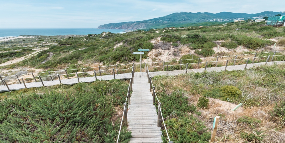
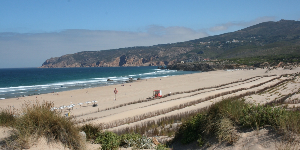
[PR 4 CSC] Rota do Litoral Guincho
Difficulty: Medium | Type of Route: Circular
Km: 9.80 | Estimated Time: 2h30 | Elevation Gain: 295m | Start: 38°44'24.67"N 9°28'19.02"W
Located in the Sintra-Cascais Natural Park, this route stands out for its impressive coastline, with the mountains as a backdrop. The route starts at Forte do Abano and takes you to the villages of Charneca, Alcorvim, Janes, Malveira da Serra and Almuinhas Velhas, where it returns to the coast and back to the starting point. Among the various animals in the area, the wild rabbit (Oryctolagus cuniculus algirus), the red fox (Vulpes vulpes), the weasel (Mustela) and the sardão (Timon lepidus) stand out.
Using binoculars, look up at the sky and try to spot species such as the common kestrel (Falco tinnunculus), barn owl (Tyto alba), tawny owl (Strix aluco), buzzard (Buteo buteo) and turnstone (Arenaria interpres). The conditions in the region favour the growth of various Mediterranean plants with medicinal and aromatic properties, such as spearmint (Mentha spicata), chicory (Cichorium intybus), fennel (Foeniculum vulgare), oregano (Origanum vulgare), honeysuckle (Lonicera japonica), St. John's wort (Hypericum perforatum) and rosemary (Salvia rosmarinus).
Find out more about the route. ONLINE | MAP in pdf HERE.
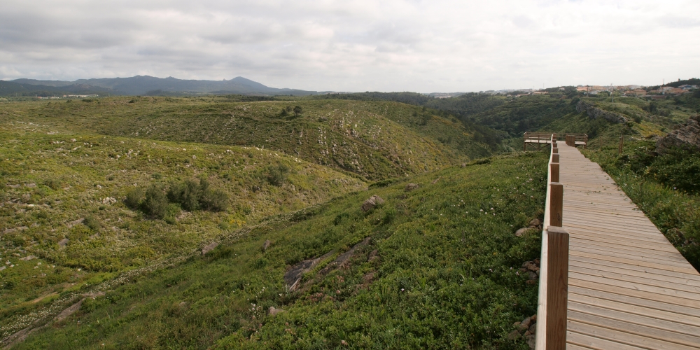
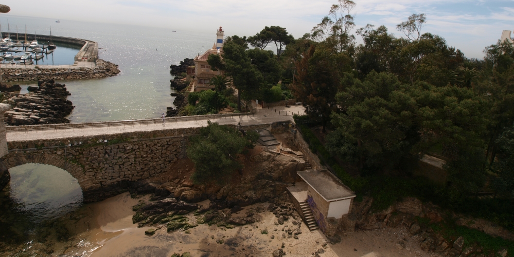
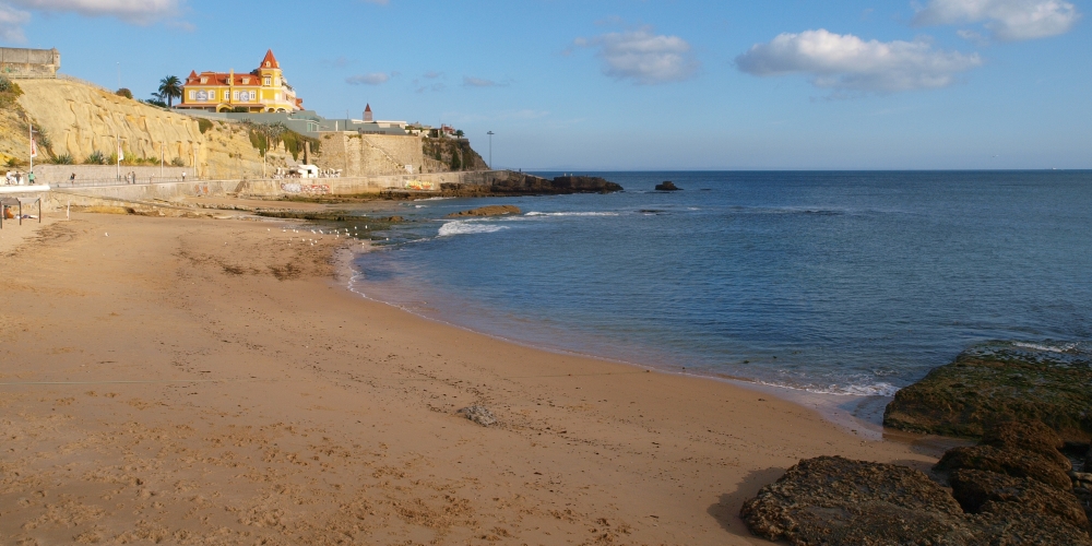
[PR 5 CSC] Rota da Ribeira das Vinhas
Difficulty: Easy | Type of Route: Linear
Km: 8 | Estimated Time: 2h00 | Elevation Gain: 180m | Start: 38°42'14.94‘N 9°25'27.62’W
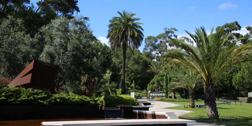
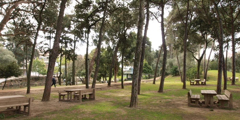
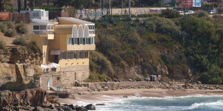
A unique route of about 8 km that connects the town of Cascais to the Sintra-Cascais Natural Park, running along the Ribeira das Vinhas and its adjacent valley. The route has always been used by man to access the Sintra mountains, either because of its gentler slope, to use the force of the water for milling with watermills, or to tread the fabrics with treadmills. Each part of the territory had a function and a name, Ribeira das Vinhas, Ribeira do Marmeleiro, Ribeira do Pisão and Ribeira da Mula, which have remained to this day, representing the collective memory of Cascais and its connection to the mountains.
Requalified as one of the main ecological corridors of Cascais, the route promotes biodiversity and the growth of native vegetation. Ideal for walking, running or cycling, the route combines sustainable mobility, leisure and sport.
Find out more about the route. ONLINE | MAP in pdf HERE.
[PR 14 CSC-SNT] Rota do Ocidente
Difficulty: Difficult | Type of Route: Circular
Km: 24.50 | Estimated Time: 6h30 | Elevation Gain: 900m | Start: 38°44'24.67"N 9°28'19.02"W
The route begins at Forte do Abano, heading towards the mountains and passing through the villages of Figueira do Guincho and Biscaia. The climb leads to the highest point, at Peninha, where you can admire a panoramic view of the Sintra-Cascais Natural Park and its surroundings. On the descent, the route passes through Quinta do Pisão - Nature Park, continuing through the villages of Janes, Malveira da Serra and Almuinhas Velhas to the coast, then returning to Forte do Abano. This itinerary crosses an area rich in natural habitats, with a diverse geological, floristic and faunistic heritage. Along the way, you will find plants such as rosemary and oregano, as well as birds such as peregrine falcons and common kestrels, which can be spotted in the higher areas.
Find out more about the route. ONLINE | MAP in pdf HERE.
[TN 1] Abano Trail
Difficulty: Medium | Type of trail: Circular
Km: 3,80 | Estimated time: 1 hour | Starting Point Coordinates: 38°44'26.93"N 9°28'19.59"W
Open-air trail
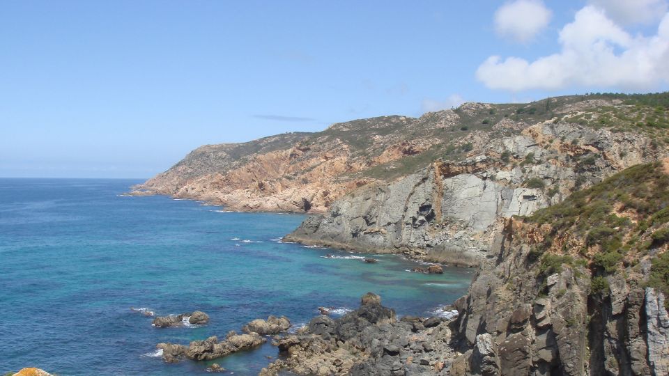
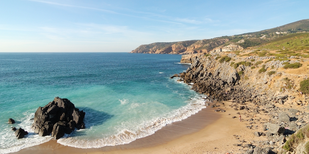
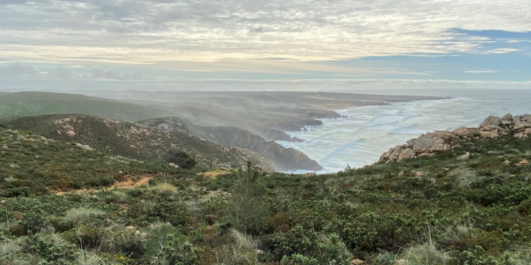
The Abano Trail runs along the coastline, in an area marked by distinctive geological phenomena, located at the transition between limestone and basalt. The terrain is slightly sloping, providing a pleasant route with views of both the mountains and the sea.
Find out more about the trail. ONLINE | MAP in pdf HERE.
[TN 4] Peninha Trail
Difficulty: Easy | Type of trail: Circular
Km: 2,40 | Estimated time: 40 minutes | Starting point coordinates: 38°46'8.86"N 9°27'31.38"W
Open-air trail
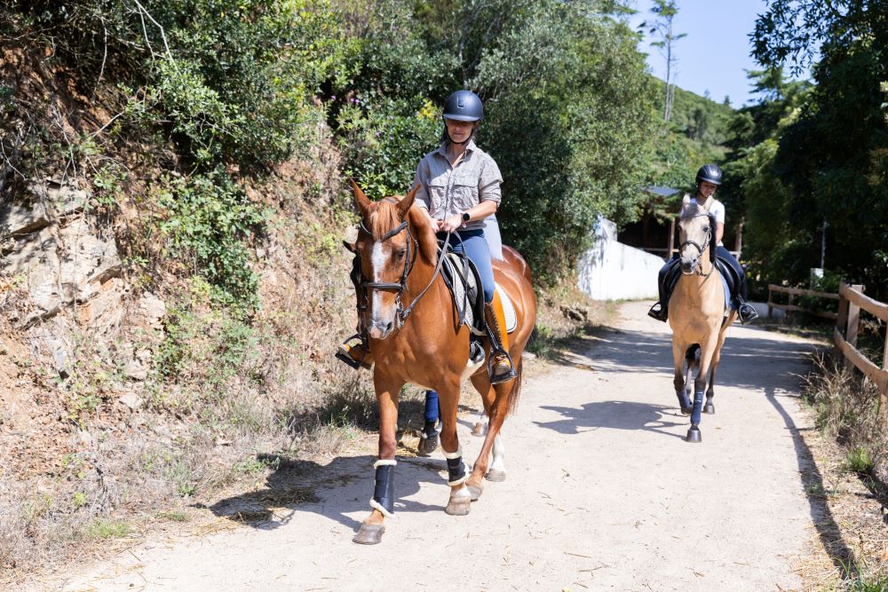
This trail starts at the Peninha car park and follows paths with some uneven terrain. Along the way, you can enjoy sweeping views over the municipality of Cascais and the ocean. Here you can find Garrano horses, a native breed in Portugal that plays a key role in maintaining the landscape.
Find out more about the trail. ONLINE | MAP in pdf HERE.
[TN 5] Píncaros Trail
Difficulty: Medium | Type of trail: Circular
Km: 3,90 | Estimated time: 1 hour | Starting point coordinates: 38°46'8.86"N 9°27'31.38"W
Mixed trail
The Píncaros trail starts at the Peninha car park and follows paths with some uneven terrain, passing from low vegetation to areas with trees that are more sheltered from the sea winds. Along the way, you can enjoy a panoramic view over the municipality of Cascais, although the area is often shrouded in fog, especially at dusk.
Find out more about the trail. ONLINE | MAP in pdf HERE.
[TN 6] Tapada da Roçada Trail
Difficulty: Medium | Type of trail: Circular
Km: 3,50 | Estimated time: 1 hour | Starting point coordinates: 38°45'44.05"N 9°26'51.00"W
Open-air trail
The Tapada da Roçada trail starts at the foot of the mountain and follows a circular route to higher elevations, passing by the natural viewpoint of Cabeço do Vento, overlooking the Atlantic. These are gentle trails with moderate slopes, in a predominantly forested area.
Find out more about the trail. ONLINE | MAP in pdf HERE.
[TN 12] Alto do Mato Trail
Difficulty: Easy | Type of trail: Circular
Km: 2,10 | Estimated time: 40 minutes | Starting point coordinates: 38°45'13.60"N 9°25'41.97"W
Mixed trail
The Alto do Mato Trail crosses the interior of Quinta do Pisão - Nature Park, in a transition area between limestone formations, with the Porto Côvo lime kiln as a point of interest. The route follows a deep valley, offering a typical landscape of scrubland and woodland.
Find out more about the trail. ONLINE | MAP in pdf HERE.
[TN 15] Pisão Trail
Difficulty: Easy | Type of trail: Circular
Km: 3,40 | Estimated time: 50 minutes | Starting point coordinates: 38°45'17.37"N 9°25'25.21"W
Mixed trail
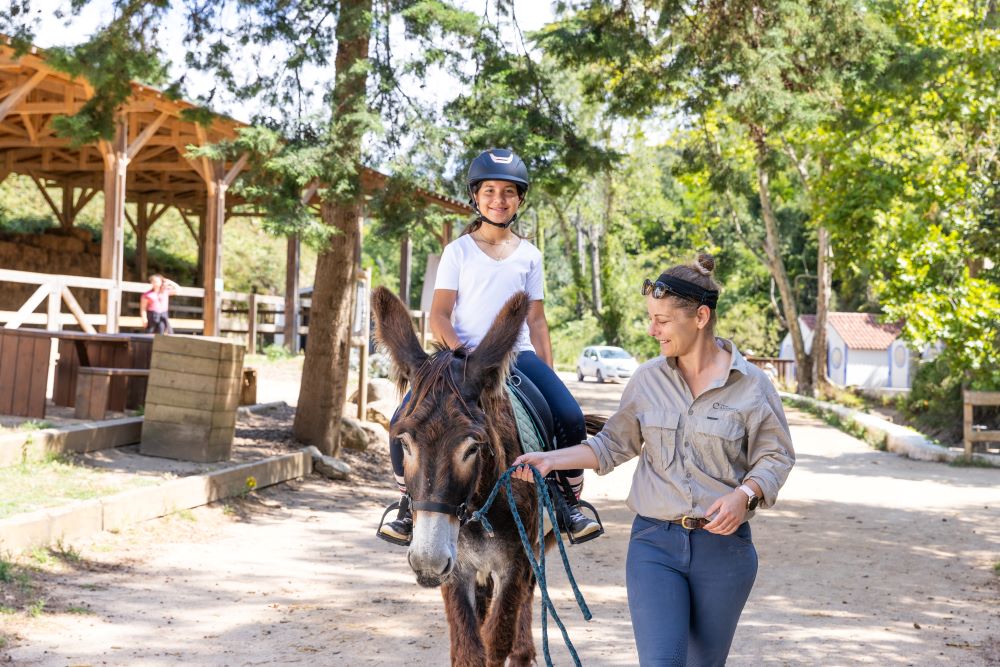
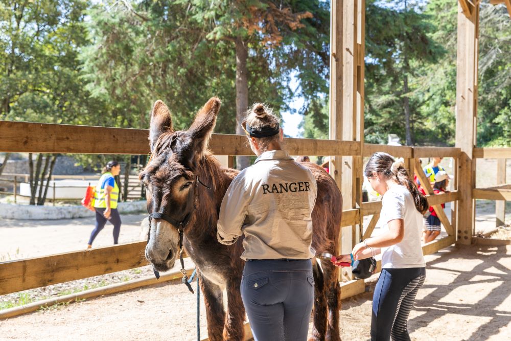
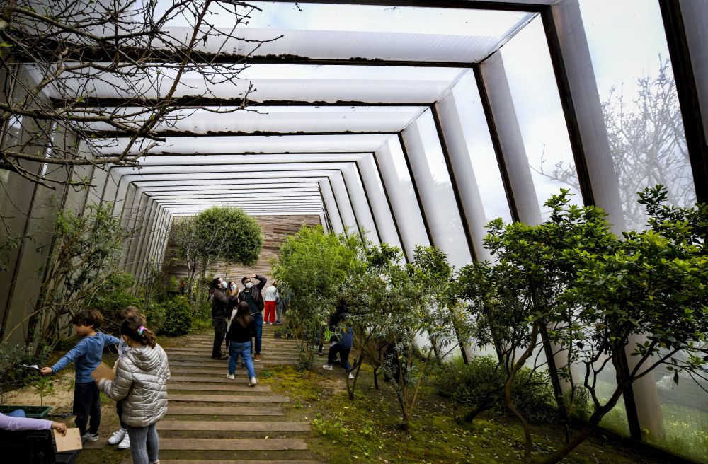
The Pisão Trail crosses a varied landscape, including forest, scrubland and pastures, where you can see Miranda donkeys, Sorraia horses and other species native to Portugal. The route also passes several points of interest, such as the Porto Côvo chapel, the organic vegetable garden and the Refilão stable.
Learn more about the trail. ONLINE | MAP in pdf HERE.
[TN 7] Fontainhas Trail
Difficulty: Easy | Type of trail: Circular
Km: 2,30 | Estimated time: 40 minutes | Starting point coordinates: 38°45'44.05"N 9°26'51.00"W
Mixed trail
The Fontainhas Trail is a circular route that extends through rural properties north of Malveira da Serra, also crossing a forest area. Part of the route follows the bed of the Foz do Guincho stream along a deep valley, providing an excellent opportunity to observe the local birdlife.
Find out more about the trail. ONLINE | MAP in pdf HERE.
[TN 8] Tapada da Urzeira Trail
Difficulty: Easy | Type of trail: Circular
Km: 1,90 | Estimated time: 30 minutes | Starting Point Coordinates: 38°45'54.32"N 9°26'35.45"W
Shaded trail
This trail runs through a forest area dominated by tall trees that provide shade and favour the growth of species such as ferns. The terrain is gently sloping and is located in a transition area between basalt and granite formations.
Find out more about the trail. ONLINE | MAP in pdf HERE.
[TN 9] Pedra Amarela Trail
Difficulty: Medium | Type of trail: Circular
Km: 1,50 | Estimated time: 30 minutes | Starting Point Coordinates: 38°46'00.9"N 9°26'13.5"W
Mixed trail
The Pedra Amarela Trail runs along forest trails, mainly on granite terrain. The route is marked by steep slopes, which lead to a viewpoint next to the Watchtower, one of the highest points on the west side of the mountain range, offering a panoramic view of the mountains and the ocean.
Find out more about the trail. ONLINE | MAP in pdf HERE.
[TN 10] Cabeço da Raposa Trail
Difficulty: Easy | Type of trail: Circular
Km: 2,20 | Estimated time: 35 minutes | Starting point coordinates: 38°45'31.79"N 9°25'42.11"W
Shaded trail
The Cabeço da Raposa Trail runs along forest trails and has gentle to moderate slopes. At the Barão de Beck pond, you can observe amphibians such as the yellow-spotted salamander or identify the sound of jays among the trees.
Find out more about the trail. ONLINE | MAP in pdf HERE.
[TN 11] Vale de Cavalos Trail
Difficulty: Easy | Type of trail: Circular
Km: 2,40 | Estimated time: 35 minutes | Starting point coordinates: 38°45'13.9"N 9°25'42.4"W
Shaded trail
The Vale de Cavalos Trail follows gently sloping forest trails and narrow paths. The route crosses granite outcrops, rounded by exposure to the natural elements, known as Caos de Blocos.
Find out more about the trail. ONLINE | MAP in pdf HERE.
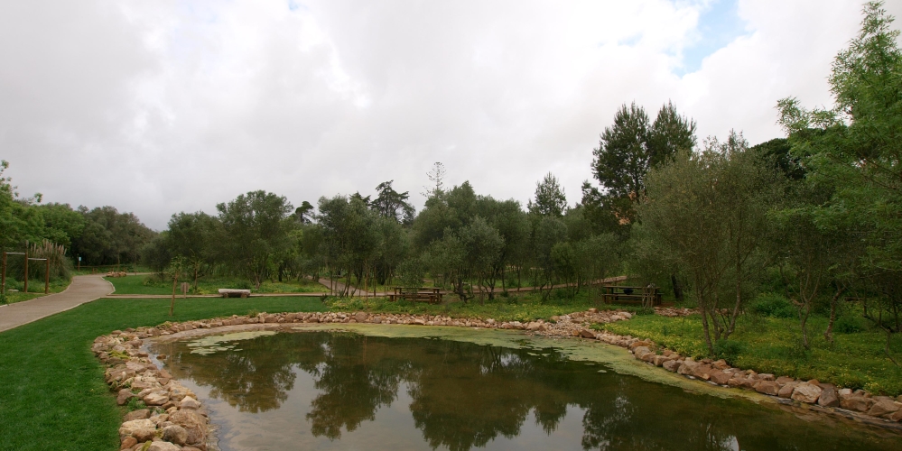
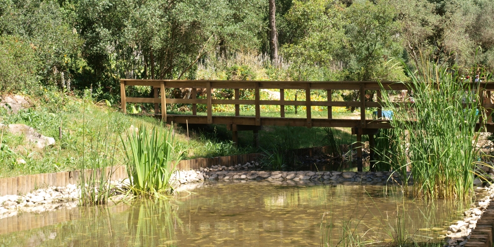
[TN 13] Ribeiro da Mula Trail
Difficulty: Easy | Type of trail: Circular
Km: 2,00 | Estimated time: 35 minutes | Starting point coordinates: 38°45'49.01"N 9°25'21.22"W
Shaded trail
The Ribeiro da Mula Trail starts at the Rio da Mula Dam and follows forest trails on the western slope of the valley. In the first part of the trail, the water mirror accompanies the climb until it enters the silence of the maritime pine forest.
Find out more about the trail. ONLINE | MAP in pdf HERE.
[TN 14] Marmeleiro Trail
Difficulty: Easy | Type of trail: Circular
Km: 3,90 | Estimated time: 1 hour | Starting point coordinates: 38°43'50.37"N 9°26'1.50"W
Mixed trail
The trail starts at Penhas do Marmeleiro Park and continues to Pisão de Baixo, following the Marmeleiro stream along the valley. The route crosses a forest, where various types of limestone predominate. During the walk, you may spot Iberian red deer and Sorraia horses.
Find out more about the trail. ONLINE | MAP in pdf HERE.